AUTOCAD CIVIL 3D
Terrain modelling, corridor design, quantity extraction and production drawing workflows.
Ksh 11,000
Enroll now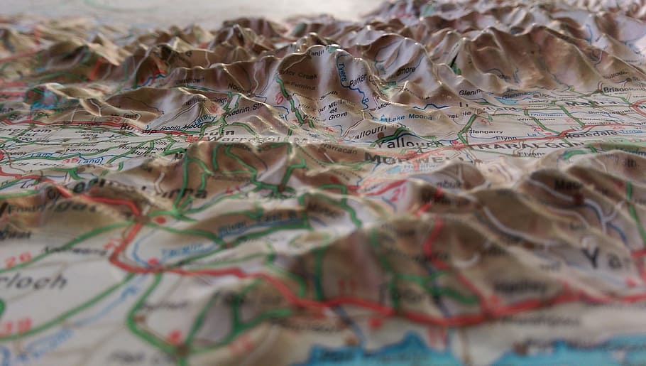

Survey, GIS, CAD, Design, Programming, Instrumentation — modules crafted for accelerated job-readiness.
Terrain modelling, corridor design, quantity extraction and production drawing workflows.

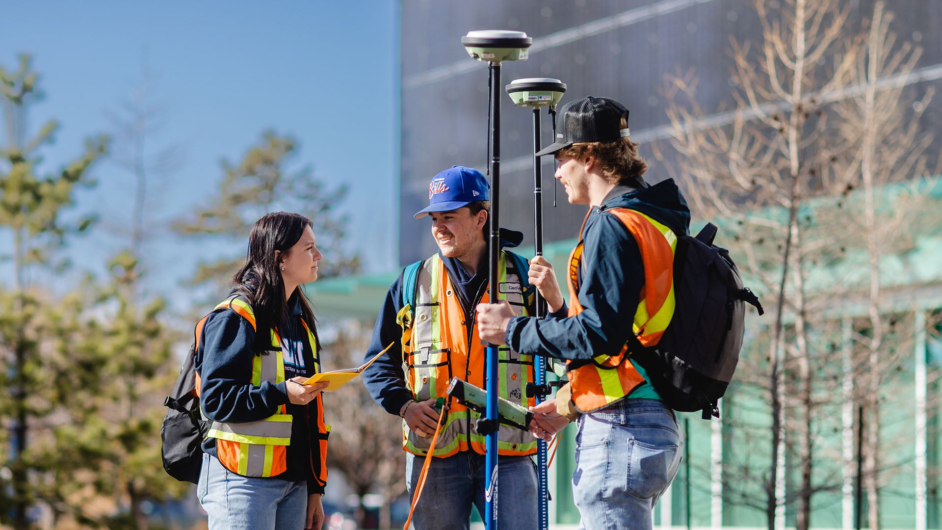
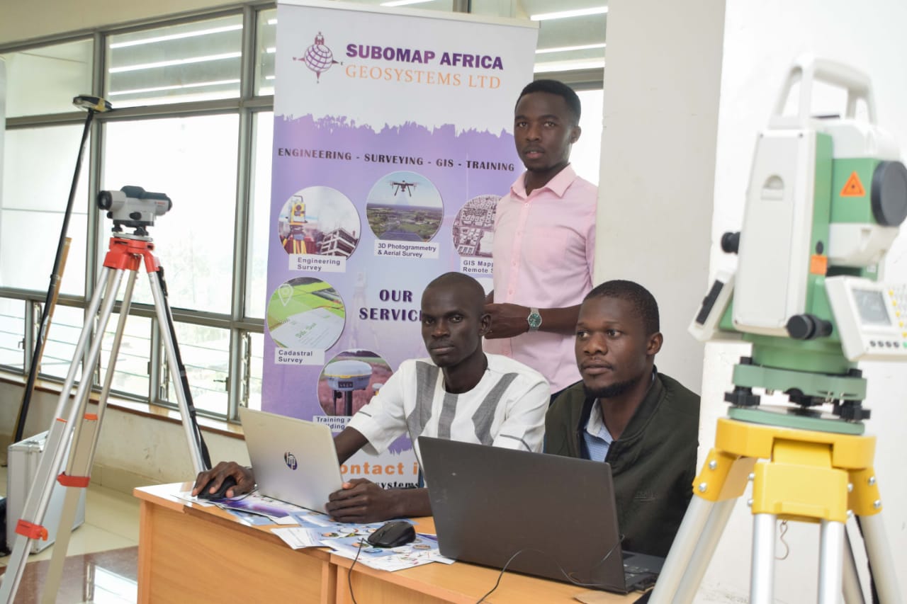
Field measurement, data reduction, levelling and best practices for accuracy in surveying.

HTML, CSS, JavaScript fundamentals with responsive design and deployment workflow.

Fundamental concepts of Python programming for beginners.
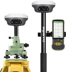
Real-Time Kinematic for high-precision surveying.
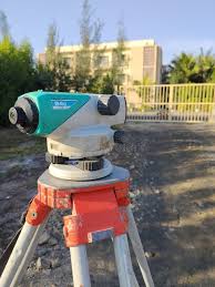
Operation and application of automatic levels in construction and surveying.

Introduction to ArcMap for geographic information system analysis.
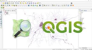
Open-source Quantum GIS for mapping and geospatial analysis.

BIM software for architects and designers.

3D modeling software for a wide range of drawing applications.

Building dynamic websites with static files and MySQL databases.

Advanced web development with Python, MongoDB Atlas, and more.

Advanced Python concepts for experienced developers.

Integrating Artificial Intelligence into development workflows.

Mastering the art of crafting effective prompts for AI models.